 vesseltracker.com
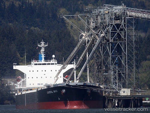
Vessel LEMESSOS WIND IMO: 9516399, MMSI: 209677000 Bulk Carrier
UTC, 29.96944, -90.26362, course: 252, speed: 0.2
UTC, 29.96960, -90.26381, course: 244, speed: 0
2026-03-03 22:00:15 UTC, 29.96940, -90.26364, course: 251, speed: 0.1
Live AIS position:
UTC. Near Ama),
updated 2026-03-03 22:00:15 UTC.
Find the position of the vessel LEMESSOS WIND on the map. The latter are known coordinates and path.
marine traffic ship tracker show on live map
The current position of vessel LEMESSOS WIND is 29.96940 lat / -90.26364 lng. Updated: 2026-03-03 22:00:15 UTCCurrently sailing under the flag of Cyprus
LEMESSOS WIND built in 2009 year
Deadweight:
76523 tDetails:
Last coordinates of the vessel:
UTC, 29.96939, -90.26361, course: 253, speed: 0UTC, 29.96944, -90.26362, course: 252, speed: 0.2
UTC, 29.96960, -90.26381, course: 244, speed: 0
2026-03-03 22:00:15 UTC, 29.96940, -90.26364, course: 251, speed: 0.1